
Chamblee Neighbor Sources Compared
A Chamblee neighbors search starts with land, because parcels provide a stable way to define the immediate block. The GIS map shows which lots touch or face the starting parcel. Appraisal cards identify the recorded owner, mailing address, situs address, and parcel details. Deeds show transfers, while permits explain work at a site. Public voter-list fields can add registered names under Georgia law, but protected addresses are excluded.
| Source | What It Shows About a Block | Access |
|---|---|---|
| DeKalb GIS parcel map | Parcel shapes, IDs, owner-linked details and districts | Free viewer |
| DeKalb appraisal cards | Owner, mailing address, situs, value and exemption | Free search |
| Landmark deeds | Transfers, parties and legal descriptions | Web index from 1979 |
| Public voter list | Lawfully released name and address fields | Custodian request |
| Permits and code files | Work, case dates and named applicants | Portal or records request |
| Civic groups | Public officers, contacts and meeting details | Public group information |
These sources prove different things. An owner name proves an interest shown on the tax roll, not who sleeps at the address. A mailing address may belong to an absentee owner. An exemption can be a clue, but it still does not name a household. Chamblee's owner-occupied rate was 39.7 percent in current Census reporting, so treating the tax roll as a directory of all neighbors would leave a large gap.
Keep the scope small. A block inquiry should record only the parcels that touch or face the subject site, plus the public facts needed for the question. A legal description identifies land in a deed and may use a lot, block, subdivision, or metes-and-bounds description. A parcel ID is the county's tax-map identifier. Neither label describes a household. When the map, deed, and appraisal card agree on the parcel but list different address forms, preserve all three rather than forcing one address into every search.
Open Chamblee Parcel Details
Use the DeKalb GIS land-records page to enter the county parcel viewer and learn how ownership corrections or deed copies are routed. GIS lines are tax mapping, not a legal survey. The parcel ID is the best token to carry from map to appraisal card.
The official notification layer can also help an owner watch later filings. The Georgia Filing Activity Notification System alerts registered users when indexed property activity matches selected names.
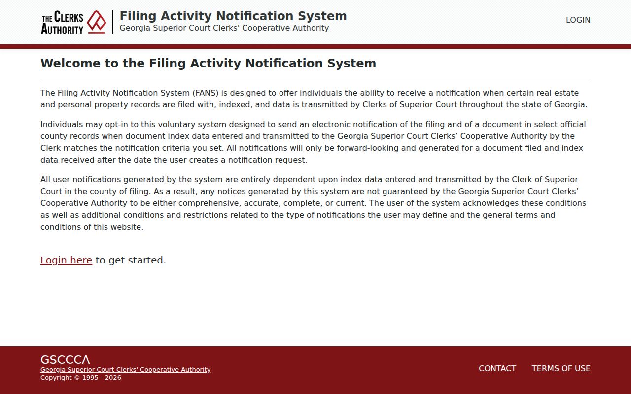
The alert system does not identify occupants, but it can prompt a check of the official instrument when ownership activity appears.
For the current card, search DeKalb Property Appraisal by street address, owner, or parcel. Capture the owner name, owner mailing address, situs, legal description, exemption, and latest deed reference. The situs is the physical location of the parcel. The mailing address is where the assessor sends notices. Matching values may support owner occupancy, but they do not establish every person who lives there. When the card contains a deed book and page, take that reference to the Clerk rather than treating the GIS popup as the deed itself.
Map a Chamblee Neighbor Block
The adjacent-parcel method is repeatable. Search one address or parcel ID, zoom until parcel boundaries and labels are clear, and open the target popup. Then work around the block one lot at a time. Record IDs instead of relying on screen position, since zoom and map layers can shift what appears.
- Normalize the starting address and locate it in the DeKalb parcel viewer.
- Open the target popup and record its parcel ID, situs, and linked appraisal detail.
- Click each touching and facing parcel. Save every parcel ID before recording names.
- Compare situs and owner mailing addresses, but do not infer occupancy from a match.
- Use selection, identify, measure, and layer controls only as aids, not as survey proof.
The result is a defined set of nearby parcels, not a household roster. For a full named-road chain, switch to the Chamblee street directory, which follows address records beyond the immediate block.
Map layers can add zoning, district, and aerial context. They can show that two homes face one another despite being in different subdivisions, or that a commercial parcel breaks a residential run. Measure tools give rough distance only. County GIS does not issue deed copies and warns that mapped boundaries are not surveys. If the edge itself is disputed, a recorded plat, deed description, or survey is the relevant source. The block method should therefore use the viewer to find records, not to settle a boundary.
Chamblee Neighbor Tools Compared
Official rolls and commercial neighbor tools should not be treated as equal. County records show who owns a parcel and where official notices are mailed. A commercial compilation may combine old, purchased, or copied data and can merge people who share a name. Neither source proves the full household.
| Source | Strength | Limit |
|---|---|---|
| County parcel and assessor | Official owner and parcel identity | Renters and household members absent |
| Clerk deed index | Recorded transfer evidence | Party based, not a block roster |
| Public voter file | Lawfully released registration fields | Protected and nonvoter residents absent |
| Commercial compilation | May collect many sources | Can be stale, incomplete, or merged |
Use the official custodian for the fact that matters. If records conflict, keep the uncertainty visible rather than choosing the most convenient name.
The same caution applies to old address-first directories. A criss-cross directory arranges entries by street and house number, which can reveal past names around a block. It belongs to a historical search and may be consulted at a library or archive. It does not update the current Chamblee neighbors list. DeKalb History Center and DeKalb County Public Library hold local directory and newspaper material, while the modern parcel roll remains the right source for current title clues.
Chamblee Neighbor Voter Records
Georgia's public voter-file layer can include a voter's name and residence address, but My Voter Page is not the tool for browsing a block. MVP is an identity-authenticated personal lookup. A public list must be requested from the election custodian and used within Georgia's rules.
Full birth dates, identification numbers, phone numbers, Social Security numbers, driver-license numbers, and protected addresses are withheld. Election participation can show that someone voted, but never how they voted. Georgia does not register voters by party. VoteSafe and Safe at Home also make an absent address a privacy outcome, not a gap to work around.
The DeKalb provisional ballot search is narrower still. Its form uses an election date, name, and date of birth for a specific election purpose.
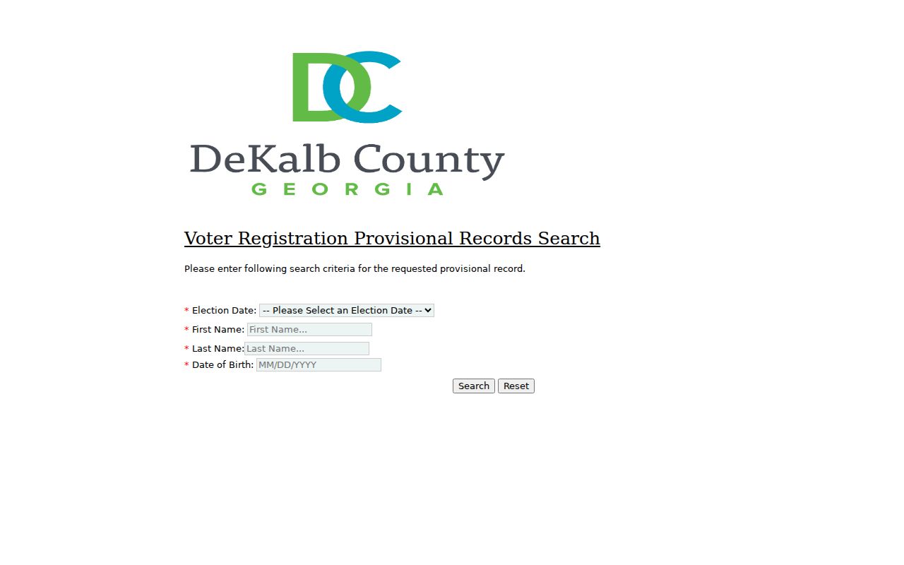
The screen shows why an election tool should not be mistaken for an open neighbor directory.
A lawful public-list request goes to the proper election custodian. The state order process can select active voters or active and inactive voters and may narrow by county, municipality, district, or precinct. That is still broader than one block, and commercial use is barred by Georgia law. DeKalb Voter Registration and Elections can explain the available public product and exclusions. Never use a date of birth or other identity field from an authenticated form to probe for nearby people.
Chamblee Neighbor Civic Contacts
Chamblee's public civic layer includes groups named in city annexation and planning material, including Dresden East Civic Association and Embry Hills Civic Association. Public board contacts and meeting details can establish a group's scope. No authoritative public household roster was found, so membership must not be inferred from an address.
Dresden East
Use public association contact and meeting information for civic questions. Treat any member list as private unless the group publishes it.
Embry Hills
Use public officers and planning references to understand neighborhood scope, not to name households.
Chamber and community business directories locate organizations and commercial contacts. They are not Chamblee neighbor lists. Congregation, block-watch, and utility customer data also cannot be assumed public when the research found no open roster.
Historical civic context is available without exposing a current roster. DeKalb History Center holds community newsletters and district-arranged Chamblee material. Its 1936 to 1940 regional voting records include oath sheets for districts such as Chamblee, Cross Keys, Doraville, and Shallowford. Those sheets can contain addresses, occupations, birth dates, and transfer papers, but access is by archive appointment and the collection is not a present-day voter file. Use it to study an earlier community, not to claim a direct line to today's block.
Chamblee's changing city boundary also shapes civic identity. Annexations in 2010 and 2013 brought areas into the municipality, but an older permit, directory entry, or neighborhood paper may still use unincorporated DeKalb or another local label. Current city membership, postal identity, and historical directory coverage are three distinct geographies. Check the date of the record before deciding which group or office should have kept it. A Chamblee mailing line by itself does not prove that an address was inside the city when an event took place.
Track Chamblee Block Changes
Permits can explain why a nearby site looks different. Chamblee records may identify the project address, applicant, contractor, description, and dates. They are evidence of work, not everyone at the property. Applications can be made online, by email, or in person, while city open-records requests use GovQA when portal search does not supply the file.
The Chamblee inspection portal shows the permit-number and access-code workflow.
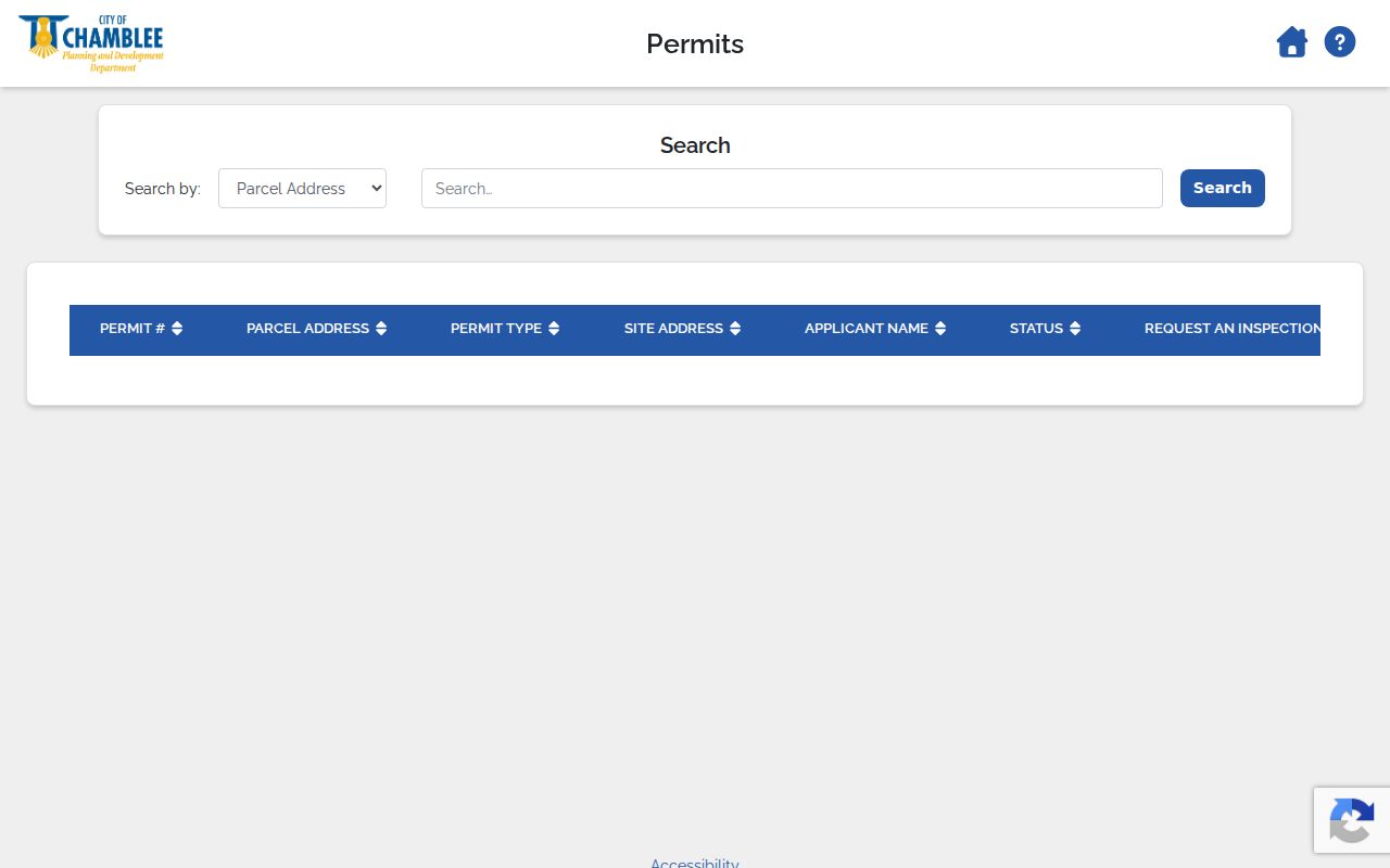
A homeowner acting as contractor may use the street number as the access code, a local detail that does not make the rest of the household public.
Code cases can add dates, a complaint type, inspections, notices, and closure steps. Chamblee accepts code complaints through its service portal, by phone, email, or in person. The city says anonymous complaints are accepted and names are treated as confidential, while litigation or a records request can affect disclosure. That nuance matters. A released case may explain a physical change or enforcement event, but it should not be mined for a complainant or used to infer conflict between Chamblee neighbors.
Confirm Chamblee Parcel Filings
Once the map supplies an owner name or deed reference, the Clerk's Landmark index confirms the recorded transfer from 1979 forward. Older work moves to physical grantor and grantee books. A grantor gives an interest; a grantee receives it. The GSCCCA consolidated search offers another state-level route with access tiers.
The GSCCCA search page presents those official search choices.
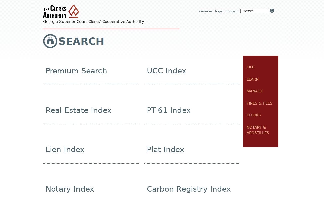
Use a deed to confirm title activity, not to infer who now occupies a Chamblee home.
Landmark supports several paths, including names, document types, book and page, parcel, recording date, instrument number, and legal description. It is not reliably a street roster. Begin with the parcel card's deed reference or a known party. To follow an older chain, search each seller as an earlier buyer. Once the trail passes the public web cutoff, physical grantor and grantee indexes and deed books become the fallback. Copies come from the Clerk, even when county GIS helped locate the reference.
That split between map and deed is useful. The map answers which parcels surround the starting point. The deed answers who conveyed an interest and how the land was described. The appraisal card answers whom the county currently bills. Keep those statements in separate notes. When all three point to one owner, the match is strong for ownership, but still says nothing about a spouse, roommate, child, or renter. When they differ, check record dates and ask the proper office for the most recent instrument.
Record Chamblee Block Findings
A short block log prevents accidental name mixing. Make one row per parcel and record the parcel ID first. Add the situs address, owner name exactly as displayed, mailing city, deed reference, and source date. Keep permit or voter evidence in separate columns. If a field is absent, write "not shown" instead of guessing.
Dates matter across Chamblee. A tax card may reflect a current owner while an older permit names a former applicant. A deed may have been recorded after signing. A civic newsletter may describe a neighborhood boundary that later changed. Saving the access date and source URL makes the result easier to verify with the custodian. It also keeps a block-sized inquiry from turning into a broad list of unrelated Chamblee residents.
Chamblee Neighbor Privacy Limits
Renters, children, and other household members are not listed on the parcel card. Utility, delivery, and DMV data are not a lawful public block directory. Code complaints may also involve confidential or redacted details. Public availability never authorizes surveillance, threats, or unwanted contact.
Georgia Safe at Home launched July 1, 2026, with substitute-address and mail-forwarding protection for eligible people at risk. VoteSafe separately shields qualifying voter residence addresses. Both programs set a firm boundary for a Chamblee neighbors search.
Safe at Home uses a substitute address in state and local public records and forwards first-class mail for eligible survivors and others at risk. VoteSafe is specific to voter registration. A missing or substituted address should never be treated as an invitation to search private sources. It is evidence that the public system is working as designed. If an immediate safety issue exists, use Chamblee Police or emergency services rather than trying to build a private household directory.
Lawful use. Chamblee neighbor records support civic curiosity and personal safety. Never use them to watch, harass, threaten, or harm another person.