
Chamblee ZIP Coverage at a Glance
Four postal areas are relevant to a Chamblee ZIP code directory, but the research did not find an official USPS table listing every ZIP that intersects the municipal polygon. The safest statement is that these codes cover the city core, city-edge parcels, and nearby DeKalb delivery areas. Verify any one address before treating it as part of Chamblee.
| ZIP | Areas Covered | Postal Identity | Local Caution |
|---|---|---|---|
| 30341 | Historic Chamblee, Downtown, Buford Highway, Peachtree industrial area, and wider north DeKalb | Chamblee | Extends beyond city limits |
| 30345 | Southern and eastern edge plus adjoining DeKalb neighborhoods | Atlanta | Some current city parcels may use Atlanta |
| 30319 | Western and southwestern vicinity | Atlanta or Brookhaven-associated | Boundary proximity requires parcel check |
| 30340 | Doraville-adjacent north and east vicinity | Atlanta or Doraville-associated | Check annexed parcels one by one |
Exact post-office station names and a verified historical ZIP realignment were not found in the official sources. The table therefore uses delivery identities rather than invented station details.
Each row describes a relationship to Chamblee, not a claim that the whole ZIP lies in the city. For 30345, 30319, and 30340, the useful unit is one parcel. Enter the full address in USPS, then compare that standardized result with the county parcel card and GIS. This method catches cases where a neighborhood name, postal city, and incorporated city point in different directions. Save all three labels because later records may index the same place under different geography.
Chamblee 30341 Is Not a Border
30341 is the principal Chamblee postal identity. It includes historic downtown, the Buford Highway and Peachtree industrial-commercial areas, and a broad north DeKalb delivery zone. That reach makes it useful for sorting addresses, but poor as proof of municipal jurisdiction. A person can receive mail labeled Chamblee while the parcel lies beyond the incorporated city.
This distinction affects which office keeps a permit or code case. Deeds, assessor records, and county GIS remain DeKalb records, while city-created material depends on whether the parcel was inside Chamblee when the event occurred. Always record the event date along with the ZIP.
The historic core grew around the rail depot, while modern Chamblee includes Downtown, the MARTA area, Antique Row, Buford Highway, and land near DeKalb-Peachtree Airport. Those place names provide context, but they are not postal boundary definitions. A site on the Buford Highway corridor may use a Chamblee mailing line even when a city-record request must be routed by the parcel’s jurisdiction on the date of a permit or complaint.
Verify Chamblee Addresses with USPS
The USPS ZIP Code Lookup is the official first check for delivery syntax. Search a full street address when one is known. A city-and-state search is broader and cannot settle a city-limit question. Save the standardized spelling, directional, suffix, mailing city, and returned ZIP before moving to county records.
| Lookup field | What to enter | What it resolves |
|---|---|---|
| Street address | House number and street | Delivery match and standard street form |
| City | Postal city name | Mailing identity, not jurisdiction |
| State | Georgia | Limits the national lookup |
| ZIP result | Returned by USPS | Delivery area for that address |
The official interface is shown below.
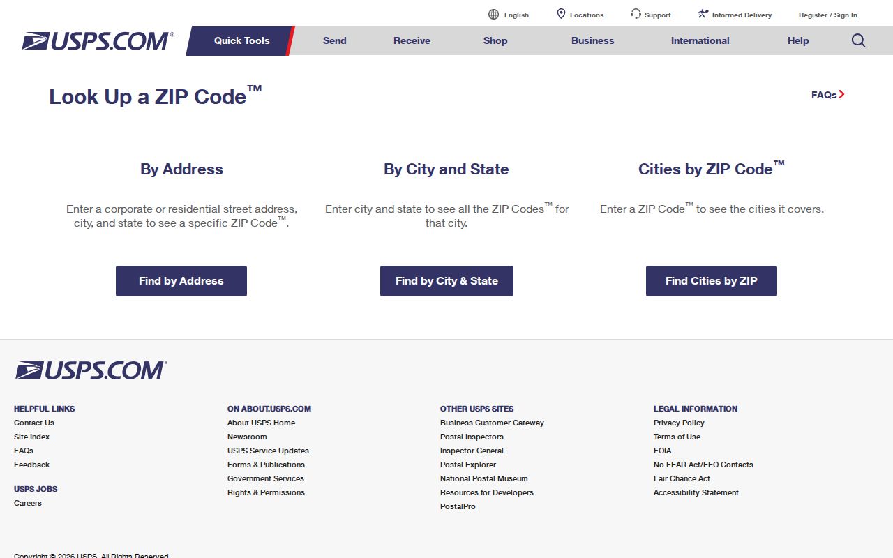
The captured form is the correct place to test one address before using its ZIP in another index.
USPS standardization can also reveal a missing directional or a different suffix. Carry that exact spelling into the assessor. If no parcel appears, try the street number and base street name without adding an unverified postal city. A successful postal result proves deliverability in that form. It does not identify the owner, establish the current occupant, or show whether Chamblee City Hall held jurisdiction when an older record was created.
Annexation Reshaped Chamblee ZIP Searches
Chamblee began as a half-mile-radius rail town and later expanded through annexations, including major changes in 2010 and 2013. The 2013 expansion took effect on December 30. Census land area rose from 3.18 square miles in 2010 to 7.69 in 2020. Postal routes did not automatically change to mirror the new boundary.
This creates three geographies worth keeping side by side: current city limits, USPS delivery identity, and the historical boundary in force when a record was made. Older files for a parcel now called Chamblee may remain under unincorporated DeKalb or another postal city. The growth numbers explain why a ZIP code directory cannot be read as a fixed municipal map.
Annexation can change the municipal keeper without changing the county keeper. The DeKalb assessor, GIS team, and Superior Court clerk remain the central offices for parcel, map, and deed evidence. Chamblee becomes relevant for city permits, code cases, minutes, and other municipal files from the period when the land was incorporated. When researching a past event, note the event date first, then determine the boundary in force at that time.
Note: For an older permit or code file, use the boundary date tied to the work, not only the parcel’s current Chamblee status.
Find Chamblee Records Within a ZIP
After USPS confirms the delivery code, use the address to find a parcel rather than expecting every portal to offer a ZIP-wide list. The DeKalb appraisal search accepts owner name, property address, or parcel ID. Its documented fields do not include a stand-alone ZIP filter, so do not invent one. Georgia My Voter Page is also an identity-authenticated personal check, not a browseable postal roll.
- Standardize the complete address in USPS and record the returned mailing city and ZIP.
- Search the DeKalb Property Appraisal portal by property address.
- Capture the parcel ID, situs address, owner mailing address, legal description, and deed reference.
- Open DeKalb GIS to compare the parcel with the current city boundary.
- For a lawful voter-list need, request the public file from the election custodian instead of treating My Voter Page as a ZIP search.
Once the goal narrows to one road, use the Chamblee street directory for the address-based record chain. Owner information still does not establish every occupant.
A public Georgia voter list is legally different from My Voter Page. The public file may include names and residence addresses, while full birth dates, identification numbers, and protected addresses are withheld. VoteSafe can conceal a qualifying voter’s residence. A custodian request may specify a county and can be narrowed by municipality, district, or precinct, but the research did not document a direct ZIP filter. Do not describe it as one.
Three Chamblee Address Types
Postal, tax, and deed records can show different address forms without contradicting one another. Keep each label attached to its source. This is especially important around 30345, 30319, and 30340, where an Atlanta or Doraville-associated postal identity may sit near or within modern Chamblee boundaries.
- Situs address
- The physical location of a parcel as shown in property records.
- Mailing address
- The place where the owner receives tax correspondence. It may be elsewhere.
- Legal description
- The land identity stated through district, land lot, subdivision, lot, block, or metes and bounds.
- ZIP+4
- A nine-digit delivery code that narrows mail sorting beyond the five-digit ZIP.
- Carrier route
- A postal delivery sequence, not a municipal or neighborhood border.
A PO-box ZIP serves boxes rather than ordinary street delivery, while a unique ZIP can serve one large organization. No Chamblee-specific example of either type was confirmed, so neither should be added to the local ZIP table.
The owner mailing address on a parcel card may carry a different ZIP from the situs. That is normal when tax correspondence goes elsewhere. Compare the situs to USPS when the question concerns the physical land. Use the mailing field only as owner-contact evidence. Deeds rely most strongly on parties and the legal description, while the assessor provides the bridge from today’s street form to the parcel and latest deed reference.
Official Chamblee ZIP Follow-Ups
A ZIP often works as a sorting clue before a search moves to another official source. Georgia’s unclaimed-property program is a name-based state route that may reconnect a person with property, but a mailing match should still be verified.
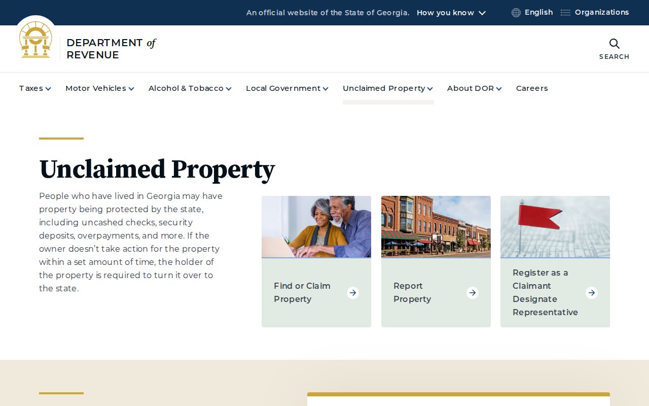
The image shows an official state option, not a ZIP-wide resident list.
Federal case research uses PACER, while DeKalb County falls within the U.S. Bankruptcy Court for the Northern District of Georgia.
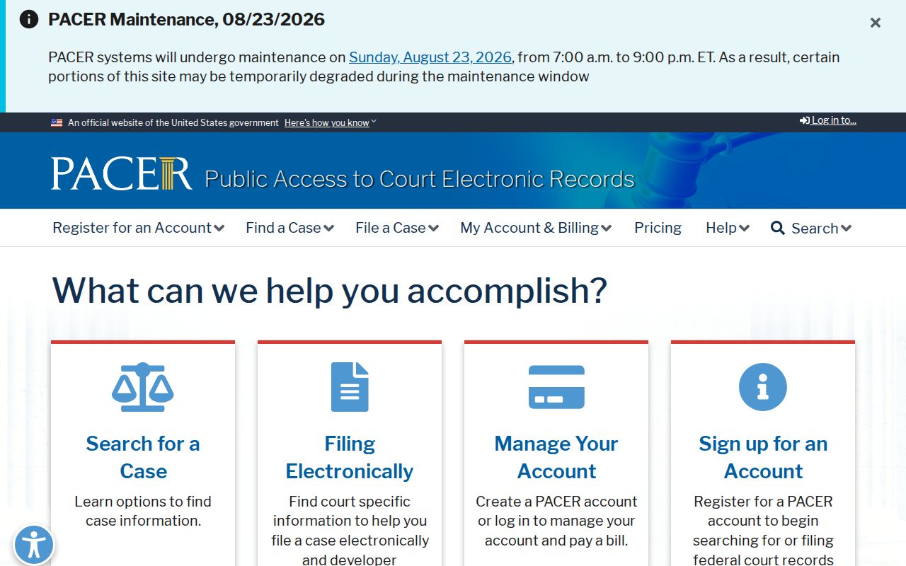
The captured PACER page represents the nationwide docket route, where a ZIP is only a supporting detail.
The bankruptcy court maintains its own official public information and filing access.
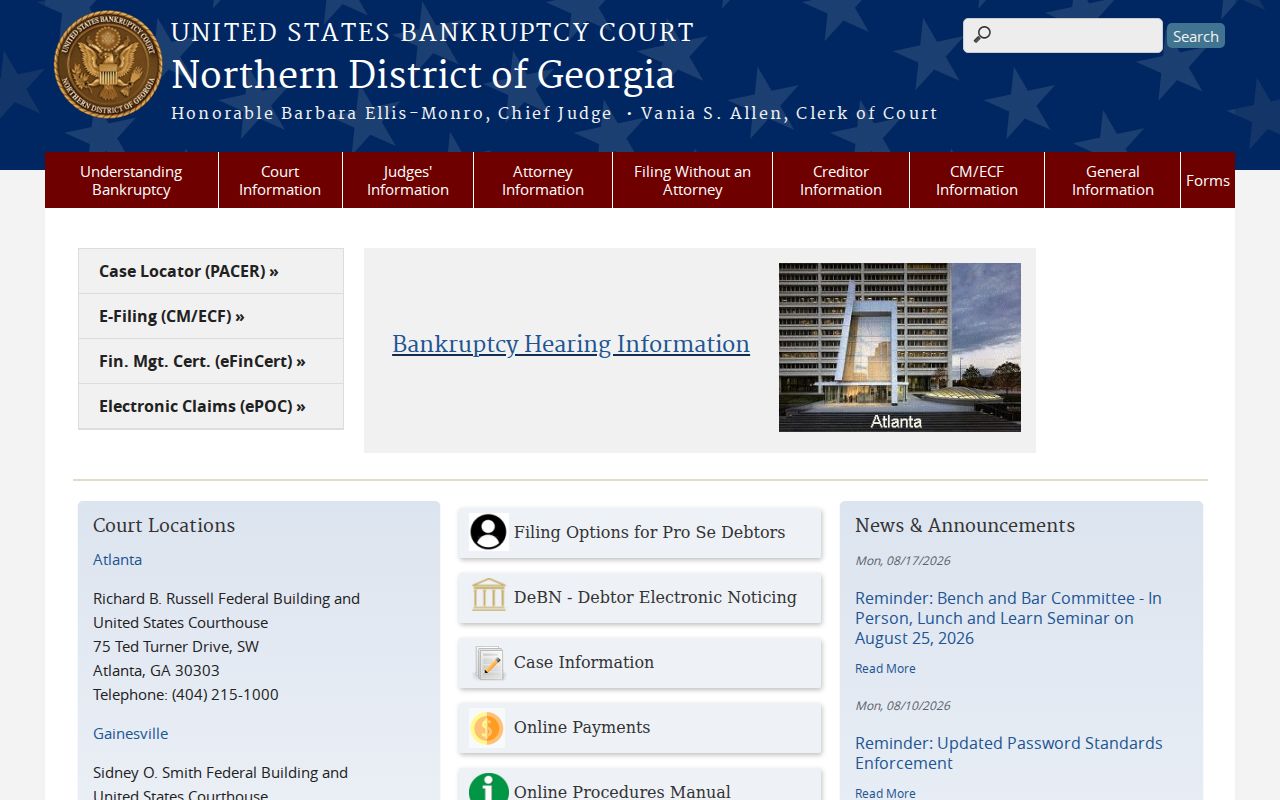
The court image identifies the correct federal district for Chamblee and DeKalb County.
Chamblee ZIP Codes Versus City Limits
The Chamblee ZIP code directory is a postal aid, not a roll of municipal residents. 30341 reaches beyond the city. Some parcels near the southern, western, and northern edges may use Atlanta, Brookhaven-associated, or Doraville-associated delivery labels. Only an address-level USPS check paired with current GIS can resolve both questions.
Tax ownership also must not be turned into a claim about residence. Chamblee’s owner-occupied rate was 39.7 percent in the current Census QuickFacts context. An owner mailing address can differ from the situs, and a tax roll generally omits renters and other household members. Keep the ZIP, parcel owner, and actual occupant as separate facts.
For Georgia voter records, My Voter Page lets a voter check their own status after supplying matching identity data. Public voter lists are requested from the custodian and omit protected fields and VoteSafe addresses. ZIP-level curiosity never overrides those protections.