
Walk a Chamblee Street Record
A useful street-by-street search separates ownership from occupancy. DeKalb County keeps the parcel, map, deeds, and voter file, while Chamblee keeps its permit and code records. Begin with one verified address. The parcel ID then becomes the stable key that connects a map to its deed reference even when the address is written several ways.
- Confirm the delivery form with USPS and check current Chamblee limits. A Chamblee postal line alone does not prove that land is in the city.
- Search DeKalb appraisal by address. Save the parcel ID, situs, owner, mailing address, legal description, and latest deed book and page.
- Open county GIS. Find the parcel, inspect nearby lots and layers, and treat boundaries as tax mapping rather than a survey.
- Use the deed reference in Landmark Web. Follow each seller backward as an earlier buyer, carrying the legal description when street text disappears.
- Request lawful voter-list fields and search city permit or code files by exact address. Use address-first directories for older occupants.
This Chamblee by-address sequence prevents a common mistake: treating the first owner name as a household list. Each source proves a different fact. Agreement helps, but a mismatch may be expected rather than wrong.
Search Chamblee Parcels by Address
The DeKalb County Property Appraisal search is the main address-to-parcel bridge. It accepts an owner name, property address, or parcel ID. Normalize suffixes and direction words before assuming no parcel exists. Results can show owner and mailing address, situs address, legal description, deed reference, class, values, exemptions, sale facts, and building details. Fields vary by parcel.
| Search control | Input | Required | Best use |
|---|---|---|---|
| Owner Name | Text | No | Person, estate, or business variants |
| Property Address | Text | No | Number and normalized street name |
| Parcel ID | Text | No | Most stable key for a known lot |
| Search | Button | One key | Runs the chosen lookup |
| Clear or Reset | Button | No | Removes old filters |
Write down both address types. The situs is the physical parcel location. The mailing address is where tax mail goes. Matching addresses may support owner occupancy, but do not prove it. Different addresses may simply mean that the owner receives mail elsewhere.
A full parcel card can add the map reference, subdivision and lot, property class, land and building values, assessed total, year built, building area, sale date and price, sketch, photo, and tax district. An exemption indicator is another parcel fact, not a list of residents. Save the latest deed book and page exactly as displayed because that citation is the shortest route from the tax roll to the recorded transfer. If a street name returns several loose matches, search the number with a shorter form of the name, then confirm the result by parcel map and legal description. Compound owner names, estates, trusts, and business entities should be copied without being recast as household members.
Chamblee Street Records by Keeper
No office maintains a complete Chamblee household roll by street. The useful records overlap. A parcel links land to an assessed owner; a deed proves a recorded transfer; a permit dates work; voter records carry only fields allowed by Georgia law. The fallback route matters whenever a portal does not return the needed file.
| Address record | Official keeper | Evidence | Access channel |
|---|---|---|---|
| Property appraisal | DeKalb Tax Assessor | Owner, mailing and situs addresses, parcel facts | Free portal; mapping help |
| GIS parcel map | DeKalb GIS | Parcel shape, ID, districts, map context | Free viewer; email staff |
| Deeds and plats | Superior Court Clerk | Parties, transfer, book/page, land description | Landmark; counter; mailed request |
| Voter list | DeKalb Elections | Public name and residence fields | Custodian request; protected data withheld |
| Permits and code | Chamblee Planning | Address, work, applicant, dates | iWorQ; phone, email, counter, GovQA |
The parcel ID and legal description make the chain durable. Street text joins current rolls and city files, while book and page open the recorded instrument. When online access fails, the public counter, mapping staff, and written request remain valid channels.
Map Chamblee Streets in GIS
The DeKalb Property Mapping and Land Records office explains the county map route. Search an address or parcel ID, zoom until parcel labels are clear, and click lots one at a time. Layers can add district, zoning, and aerial context. The viewer is useful for a row of parcels, but it does not identify each person at those addresses.
GIS staff can use an address or parcel ID to find the latest deed or plat book and page. Deed copies still come from the Clerk. County GIS does not perform surveys or resolve encroachments. That limit matters when an address search shifts from finding records to making a land claim.
- Parcel
- A tax and mapping unit with its own county identifier.
- Situs address
- The physical parcel location, distinct from the owner mailing address.
- Plat
- A recorded drawing showing a subdivision, lots, and related land details.
- Criss-cross directory
- An address-first volume arranged by street and house number.
The official DeKalb elections page supplies the county route for voter records that may add lawful public address fields.
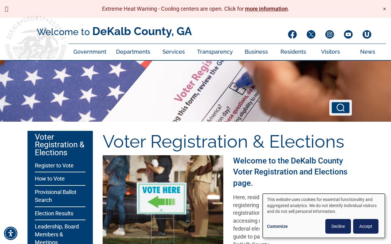
The captured county page shows an official access channel, not an unrestricted household browser.
Carry Chamblee Parcels into Deeds
Landmark Web Official Records Search covers the public web index from 1979 to the present. Modes include party name, document, book/page, parcel ID, date range, instrument number, and legal-description search. A deed may omit the modern address, so carry subdivision, lot, block, land lot, district, and other legal terms from the parcel card.
Start with the latest book/page. Read the deed for the seller, then search that seller as an earlier grantee. Repeat until the chain crosses the web cutoff. Older work moves to physical grantor/grantee indexes and deed books at the Clerk’s Real Estate Division in Decatur. Anyone may research there, with deputy clerks available on the office schedule. The office does not research recorded-document details by phone.
The statewide GSCCCA search is another channel, with limited summary access and paid tiers for added tools or images. The courthouse room is the no-subscription fallback. Copies, plats, and certified copies use the Clerk’s fee schedule. An index row is never a substitute for the image or certified record.
Landmark also supports document type, recording-date range, instrument number, and legal-description modes. Those options are useful when a street label fails or when one parcel has several filings. A result can identify the grantor and grantee, instrument type, record date, book/page, indexed legal terms, and parcel ID when supplied. The record date is when the clerk accepted the instrument, not proof of the move date or the day someone took possession. Sensitive identifiers may be removed from displayed images. For a mailed request, first obtain the book type and book/page, then follow the Clerk’s accepted payment rules. Real Estate staff are at the ground floor office on North McDonough Street in Decatur, and research assistance at the counter is distinct from telephone research.
Note: The online start year marks the web index boundary, not the first surviving DeKalb deed year.
Chamblee Permits Add Street Dates
Property records identify ownership. Chamblee permit files help explain when a structure changed. The iWorQ citizen portal routes permit and development services. Records may include address, owner, applicant, contractor, project type, and dates. These names show roles in work, not proof of residence.
Applications may be made online, in person, or by email, and the published department number is 770-986-5010. Code matters can be reported through the app or portal, by phone, email, or at Planning and Development. A narrow request should state the exact address, date range, permit or case number if known, and desired electronic files.
The city’s published channels are specific. Permit applications may go to Planning and Development in person, through iWorQ, or by email to chambleedevelopment@chambleega.gov. Code complaints may go through the app or service portal, by phone at 770-986-5009, by email to code_enforcement@chambleega.gov, or in person at 3518 Broad Street during the posted weekday hours. Anonymous complaints are accepted, though litigation or a records request can affect what is disclosed. The stated process moves from complaint and initial inspection through notice, reinspection, possible extension, citation, court, and closure. Inspection scheduling requires the permit number and contractor access code; a homeowner acting as contractor may use the street number as that code. These details can distinguish an inspection event from a general permit record.
The official City of Chamblee website supplies department routes and current municipal information.
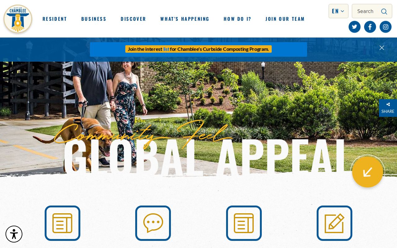
The city capture anchors the municipal side of the search, which complements DeKalb parcel records.
The permit portal provides the address-keyed route for current project evidence.
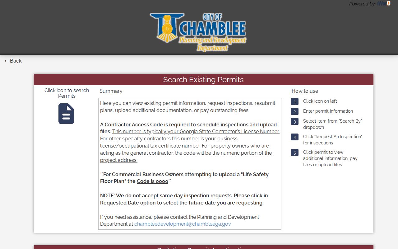
This interface helps date work, while applicant and contractor fields must not be read as an occupant list.
Chamblee Voter Records Stay Separate
Georgia My Voter Page lets a voter verify their own status, polling place, districts, and ballot data after entering matching details. It is not a browseable roll by street. The public voter file is different: Georgia lists generally expose names and residence addresses, while full birth dates, identification numbers, VoteSafe addresses, and other protected fields are withheld.
A lawful list request goes to DeKalb Voter Registration and Elections. Do not infer a household from registrations at an address. A person may not be registered, may have moved, or may have a protected address. Participation fields never reveal ballot choices.
Chamblee Street History Breaks Matches
Current geography cannot be pushed backward without care. Chamblee began within a half-mile of its rail depot, incorporated in 1908, and expanded through major annexations in 2010 and 2013. A parcel now in the city may once have appeared only under unincorporated DeKalb or another postal identity. New Peachtree Road was formerly Main Street, so both names deserve a search.
Haines address-first directories at Fulton County Central Library run from 1946 through 2016/17. Atlanta and suburban directory coverage shifted when the combined volume split after 1956. The Chamblee city directory collections explain the full year runs; street research carries each confirmed old address into the right volume.
The records geography has three layers: today’s incorporated boundary, the USPS delivery label, and the historical directory area. Chamblee’s main postal identity is 30341, but that ZIP extends outside the city. Edge addresses may use Atlanta or neighboring postal geography, including 30345, 30319, or 30340, without settling municipal jurisdiction. Verify a delivery form with USPS and a city-limit question parcel by parcel with county GIS. For an event before annexation, route the permit or code search according to the boundary then in force. Older downtown and rail-area parcels are more likely to appear under early Chamblee material, while later annexed land may remain in county or Atlanta-suburban sources.
The 1842 courthouse fire destroyed nearly all early DeKalb records. Later deed recitals, cemeteries, church files, newspapers, family papers, and surviving directories may bridge a trail, but cannot restore a continuous lost chain.
Limits of Chamblee Street Directory
The tax roll is an owner directory, not a resident list. Chamblee’s owner-occupied rate is 39.7 percent, making that distinction critical. Renters, children, relatives, and other household members are usually absent. Utility, delivery, and motor-vehicle customer data are not public substitutes. A deed shows a transfer, a permit shows work, and a voter record shows only lawful registration fields.
Commercial address tools may blend stale files or join the wrong person to a street. Check official records at the keeper and match an index hit with a parcel, document, date, or other independent fact. No result proves only that the chosen source had no match, not that a person never lived there.
Lawful use. Chamblee address records are for lawful personal research, genealogy, civic review, and safety. Never use them to stalk, harass, threaten, or harm anyone.